Wetter Icon 5
-7° / 0°
Extensive cloud fields Colder again
Wetter Icon 5
0%
Morning
Wetter Icon 23
50%
Afternoon

Today, Saturday

14/12/2024
08:00
Weather Icon
-2°
10:00
Weather Icon
-2°
12:00
Weather Icon
-2°
14:00
Weather Icon
16:00
Weather Icon
-1°
Wetter Icon Wind moderate
Wetter Icon 1 0h
Wetter Icon snow line 950m
Sunday
15/12/2024
Wetter Icon 28
-5°/-3°
Weak cold front Only isolated snow showers
Wetter Icon 25 strong
Wetter Icon 1 1h
Wetter Icon 5
60%
Morning
Wetter Icon 5
20%
Afternoon
Wetter Icon snow-line 450m
08:00
Weather Icon
-4°
12:00
Weather Icon
-3°
16:00
Weather Icon
-5°
Monday
16/12/2024
Wetter Icon 5
-6°/4°
Warm front brushes us
only marginally - milder
Wetter Icon 25 moderate
Wetter Icon 1 3h
Wetter Icon 5
20%
Morning
Wetter Icon 5
0%
Afternoon
Wetter Icon snow-line 1750m
08:00
Weather Icon
12:00
Weather Icon
16:00
Weather Icon
Tuesday
17/12/2024
Wetter Icon 2
-2°/6°
High pressure influence Fair weather – mild
Wetter Icon 25 strong
Wetter Icon 1 5h
Wetter Icon 5
0%
Morning
Wetter Icon 5
0%
Afternoon
Wetter Icon snow-line 2250m
08:00
Weather Icon
12:00
Weather Icon
16:00
Weather Icon
Wednesday
18/12/2024
Wetter Icon 1
1°/7°
High-pressure influence Frost line at 3000m above sea level
Wetter Icon 25 brisk
Wetter Icon 1 5h
Wetter Icon 5
0%
Morning
Wetter Icon 5
0%
Afternoon
Wetter Icon snow-line 2550m
08:00
Weather Icon
12:00
Weather Icon
16:00
Weather Icon

Current conditions

After the overnight passage of a weak cold front, on Sunday we are temporarily in a strong northwest flow behind the disturbance, with the last weak snow showers accumulating in the mountains. Throughout the day, these showers retreat to the direct northern edge of the Alps, and clouds dissipate from the south. Following this short-lived weather improvement, a weak warm front grazes us during the night into Monday and Monday morning. There is hardly any precipitation, but temperatures rise significantly. This warming is sustained and causes the frost line to rise to about 3000m above sea level by mid-week. The trigger for this is a high-pressure system that extends from the Mediterranean region over the Alps, providing abundant sunshine on both Tuesday and Wednesday. On Thursday, the wind shifts to the south and becomes föhn-like. At the same time, the high-pressure influence weakens, and a weak cold front approaches.
„As a meteorologist in the region, I am not only very familiar with the small-scale meteorological particuliarities that distinguish the Arlberg region from other regions, but also with the demands that locals and guests place on a regional weather report.“
OBERLANDWetter - Meteorologist and Geographer MMag. Thomas Pichler
MMag. Thomas Pichler
OBERLANDWetter - Meteorologist and geographer

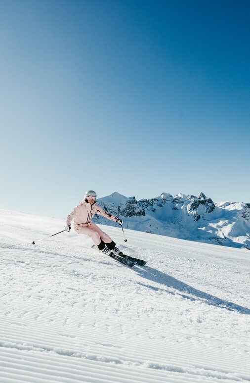
Sunshine skiing or powder snow fun?

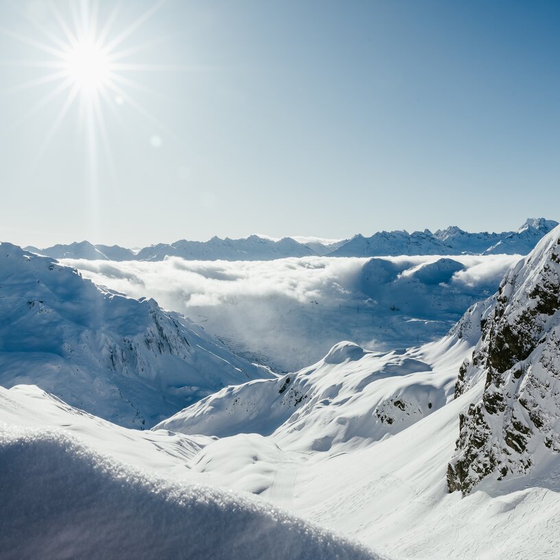
The weather in the mountains can change from one moment to the next. There might only be a few minutes between blue skies and snowfall. Especially in Lech Zürs am Arlberg, where the Lechquellen range, the Lechtal and the Allgäu Alps, and the Verwall range meet. Our aim is to provide you with the most reliable weather forecast. That’s why we put our trust in meteorologist Thomas Pichler, who lives and works in the Arlberg region. He knows about the particularities of the area and accurately forecasts the weather – even for the special microclimate of Lech Zürs. 

Tip: To get some live insights and to find out about the current temperatures in the region, you might want to have a look at the webcams  of Lech Zürs am Arlberg!